February 07, 2025
Satellite data identifies warning signs ahead of 2018 volcanic eruption, tsunami
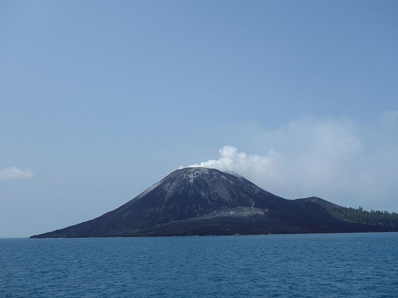
In 2018, the side of the Anak Krakatau volcano collapsed in a powerful eruption and produced a tsunami that killed hundreds and injured thousands on nearby Java and Sumatra in Indonesia. A new analysis of satellite data, led by researchers at Penn State, showed the mountainside was slipping for years and accelerated before the eruption — information that could have potentially offered a warning of the collapse.
In 2018, the side of the Anak Krakatau volcano collapsed in a powerful eruption and produced a tsunami that killed hundreds and injured thousands on nearby Java and Sumatra in Indonesia. A new analysis of satellite data, led by researchers at Penn State, showed the mountainside was slipping for years and accelerated before the eruption — information that could have potentially offered a warning of the collapse.
Credit: https://www.psu.edu/news/earth-and-mineral-sciences/story/satellite-data-identifies-warning-signs-ahead-2018-volcanic